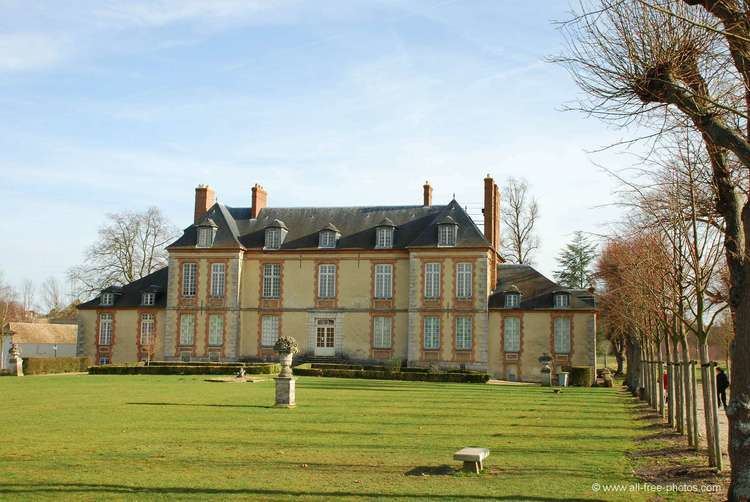
Country France Department Yvelines Population (2006) 31,952 Area 18.68 km² Arrondissement Versailles, Yvelines | Region Île-de-France Canton Plaisir Time zone CET (UTC+1) Local time Tuesday 7:54 AM | |
 | ||
Weather 8°C, Wind W at 10 km/h, 85% Humidity | ||
Plaisir is a commune in the Yvelines department in the Île-de-France in north-central France. It is located in the western suburbs of Paris, 29.5 km (18.3 mi) from the center of Paris.
Contents
Map of 78370 Plaisir, France
It borders among others on Élancourt (south), Trappes (southeast) and Les-Clayes-sous-Bois (east).
Inhabitants are called Plaisirois.
It has a major shopping mall.
Twin towns
It is twinned with Lowestoft, England and Bad Aussee, Austria.
Transport
Plaisir is served by two stations on the Transilien Paris – Montparnasse suburban rail line: Plaisir – Les Clayes and Plaisir – Grignon
Education
The commune has 17 preschools with 1,560 students and 13 elementary schools with 2,273 students, with a total of 3,843 students.
Secondary schools in Plaisir:
Secondary schools in nearby municipalities:
References
Plaisir, Yvelines Wikipedia(Text) CC BY-SA
