
Prominence 456 m (1,496 ft) First ascent 1843 | Elevation 2,972 m Mountain range Oberhalbstein Alps Parent range Oberhalbstein Alps | |
 | ||
Similar Piz Toissa, Piz Forbesch, Piz Grisch, Sur Carungas, Piz Platta | ||
Hike fly piz curv r pintg
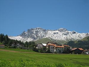
Piz Curvér is a mountain of the Oberhalbstein Range, between Andeer and Savognin, in the canton of Graubünden. With a height of 2,972 metres (9,751 ft) above sea level, it is the highest point of the chain north of the pass Fuorcla Cotschna. On its eastern flank lies the holy pilgrimage site of Ziteil, at 2,434 metres (7,986 ft) above sea level.
Contents
- Hike fly piz curv r pintg
- Map of Piz CurvC3A9r 7462 Zillis Reischen Switzerland
- Panorama piz curv r
- References
Map of Piz Curv%C3%A9r, 7462 Zillis-Reischen, Switzerland
Panorama piz curv r
References
Piz Curvér Wikipedia(Text) CC BY-SA