
Country United States Time zone CST (UTC-6) Area 116.8 km² Population 589 (2010) | Established November 5, 1861 Elevation 138 m Local time Monday 8:39 PM | |
 | ||
ZIP codes 62434, 62448, 62824, 62858, 62868, 62879 Weather 18°C, Wind NE at 10 km/h, 68% Humidity | ||
Pixley Township is one of twelve townships in Clay County, Illinois, USA. As of the 2010 census, its population was 589 and it contained 284 housing units.
Contents
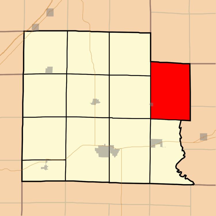
- Map of Pixley Township IL USA
- Geography
- Cities towns villages
- Unincorporated towns
- Cemeteries
- School districts
- Political districts
- References
Map of Pixley Township, IL, USA
Geography
According to the 2010 census, the township (T4N R8E) has a total area of 45.09 square miles (116.8 km2), of which 45.07 square miles (116.7 km2) (or 99.96%) is land and 0.02 square miles (0.052 km2) (or 0.04%) is water.
Cities, towns, villages
Unincorporated towns
(This list is based on USGS data and may include former settlements.)
Cemeteries
The township contains these twelve cemeteries: Ditter, Ingraham, Leonard, Levitte, McKinney, Reed, Saint Johns, Smith, Weidner, Wendelin-Holy Cross, Wesley and Woods.
School districts
Political districts
References
Pixley Township, Clay County, Illinois Wikipedia(Text) CC BY-SA