
Country United States County Washtenaw Time zone Eastern (EST) (UTC-5) Population 34,663 (2010) | Elevation 827 ft (252 m) FIPS code 26-64560 Local time Monday 8:26 PM | |
 | ||
Weather 5°C, Wind E at 0 km/h, 98% Humidity Points of interest Lillie Park, Montibeller Park, Hickory Woods Park, Pittsfield Preserve, Decode Detroit ‑ Escape R | ||
Pittsfield Charter Township is a charter township south of Ann Arbor in Washtenaw County in the U.S. state of Michigan. The population was 34,663 at the 2010 census.
Contents
- Map of Pittsfield Charter Twp MI USA
- Geography
- History
- Communities
- Former communities
- Nearby communities
- Demographics
- Education
- References
Map of Pittsfield Charter Twp, MI, USA
Geography
According to the United States Census Bureau, the township has a total area of 27.3 square miles (70.8 km2), of which 27.3 square miles (70.6 km2) is land and 0.077 square miles (0.2 km2), or 0.25%, is water.
History
When Ann Arbor Township was organized in 1827 it included what is now Pittsfield Township in its boundaries. The township was organized as the Township of Pitt in 1834. The name had been suggested by Ezra Carpenter. The current name was adopted in 1839. It became a charter township in 1972.
In 2006 the Ann Arbor District Library opened its Pittsfield branch.
In October 2015 the United States Department of Justice filed a lawsuit against the township government, accusing it of unfairly denying an Islamic group the right to build an Islamic school.
Communities
Former communities
Nearby communities
Demographics
As of the 2010 census, Pittsfield had a population of 34,663. The ethnic and racial makeup of the population was 62.9% non-Hispanic white, 13.6% black of African American, 13.6% Asian, 0.4% Native American, 0.3% non-Hispanic of some other race, 4.0% reporting two or more races. 6.5% were Hispanic or Latino, of any race.
As of the census of 2000, there were 30,167 people, 11,817 households, and 6,960 families residing in the township. The population density was 1,095.4 per square mile (422.9/km²). There were 12,337 housing units at an average density of 448.0 per square mile (173.0/km²). The racial makeup of the township was 70.37% White, 14.29% African American, 0.44% Native American, 9.96% Asian, 0.05% Pacific Islander, 1.68% from other races, and 3.21% from two or more races. Hispanic or Latino of any race were 3.97% of the population.
There were 11,817 households out of which 31.5% had children under the age of 18 living with them, 48.5% were married couples living together, 7.3% had a female householder with no husband present, and 41.1% were non-families. 29.8% of all households were made up of individuals and 4.1% had someone living alone who was 65 years of age or older. The average household size was 2.42 and the average family size was 3.11.
In the township the population was spread out with 24.0% under the age of 18, 11.8% from 18 to 24, 39.6% from 25 to 44, 18.9% from 45 to 64, and 5.7% who were 65 years of age or older. The median age was 32 years. For every 100 females there were 107.8 males. For every 100 females age 18 and over, there were 108.1 males.
The median household income in the township was $61,262, and the median income for a family was $82,600. Males had a median income of $54,167 versus $35,684 for females. The per capita income for the township was $29,645. About 5.6% of families and 9.1% of the population were below the poverty line, including 9.5% of those under age 18 and 8.8% of those age 65 or over.
Education
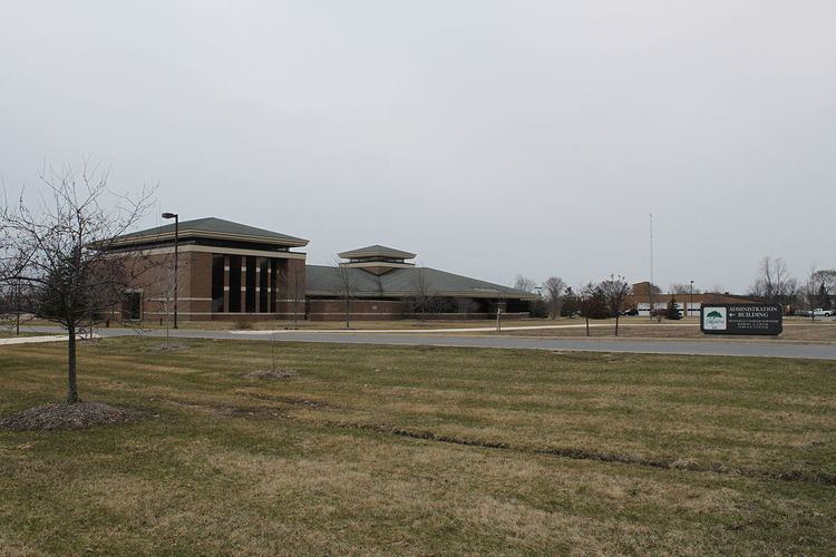
Saline Area Schools and Ann Arbor Public Schools serve the township. Saline High School is located in the township.