Area 1,368 km (528 sq mi) Width 8 km (5 mi) Elevation 962 m | Length 90 km (56 mi) Highest elevation 962 m (3,156 ft) | |
 | ||
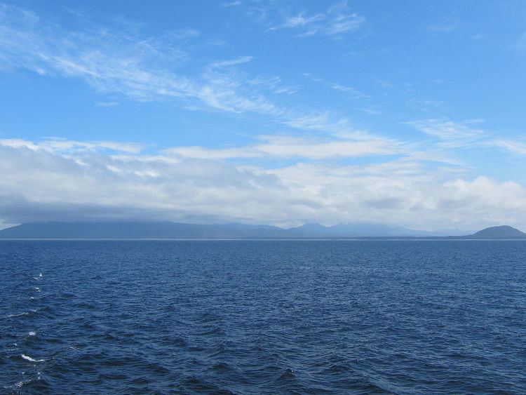
Pitt Island is an island in British Columbia, Canada, located between Banks Island, across Grenville Channel (part of the Inside Passage) from the mainland. It is separated from Banks Island by Principe Channel. The only settlement is a First Nations village, Chino Hat, on the west coast. Economic activity is primarily natural resource extraction, including mining (magnesite and iron) and logging.
Map of Pitt Island, Skeena-Queen Charlotte C, BC, Canada
The island has an area of 1,368 km² (528 sq mi), is 90 km (56 mi) long, and ranges from 8 to 23 km (5 to 14 mi) wide. Its highest point is at 962 m (3,155 ft).
References
Pitt Island (Canada) Wikipedia(Text) CC BY-SA
