- average 25.42 cu ft/s (1 m/s) Discharge 0.7198 m³/s | Length 37 km | |
 | ||
Source Crews Lake Wilderness Park | ||
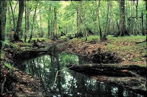
The Pithlachascotee River, often called the Cotee or "Cootie" River, is a blackwater river in Pasco County, Florida.
Map of Pithlachascotee River, Florida, USA
Originating near Crews Lake, the river flows for over 23 miles (37 km) to the south and west, flowing through the Starkey Wilderness Park before turning northwest through downtown New Port Richey, entering the Gulf of Mexico at Miller's Bayou. A Florida State Canoe Trail runs along the river.
On a chart representing the west coast of Florida accompanying the annual report of the U.S. Coast Survey for 1851, the name is translated as "Boat Building River". The whole word signifies the place where canoes were chopped or dug out. The Seminole used canoes dug out of cypress trunks. It is derived from the Creek pithlo (canoe), and chaskita (to chop out).
