
Country United States FIPS code 36-58266 Elevation 300 m Local time Monday 5:22 PM | State New York Time zone Eastern (EST) (UTC-5) GNIS feature ID 0979369 Population 846 (2010) | |
 | ||
Weather 4°C, Wind SW at 10 km/h, 70% Humidity Area 154.1 km² (152.8 km² Land / 129 ha Water) | ||
Pitcairn is a town in St. Lawrence County, New York, United States. The population was 846 at the 2010 census. The name is from that of Joseph Pitcairn, an early landowner and diplomat.
Contents
- Map of Pitcairn NY 13648 USA
- History
- Geography
- Demographics
- Communities and locations in Pitcairn
- References
Map of Pitcairn, NY 13648, USA
The Town of Pitcairn is in the southwest part of the county and is south of Canton.
History
Settlers began to arrive in the area around 1825 near Portaferry Lake.
Pitcairn was established in 1836 from parts of the Towns of Edwards and Fowler.
Geography
According to the United States Census Bureau, the town has a total area of 59.5 square miles (154 km2), of which, 59.0 square miles (153 km2) of it is land and 0.5 square miles (1.3 km2) of it (0.84%) is water.
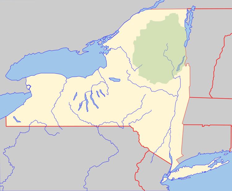
Part of the south town line is the border of Lewis County. The town is partially in the Adirondack Park.
New York State Route 3 and New York State Route 812 intersect near the south town line.
Demographics
As of the census of 2000, there were 783 people, 295 households, and 233 families residing in the town. The population density was 13.3 people per square mile (5.1/km²). There were 412 housing units at an average density of 7.0 per square mile (2.7/km²). The racial makeup of the town was 99.36% White, 0.26% Asian, 0.38% from other races. Hispanic or Latino of any race were 0.64% of the population.
There were 295 households out of which 39.0% had children under the age of 18 living with them, 64.7% were married couples living together, 6.4% had a female householder with no husband present, and 21.0% were non-families. 17.6% of all households were made up of individuals and 6.4% had someone living alone who was 65 years of age or older. The average household size was 2.65 and the average family size was 2.92.
In the town, the population was spread out with 27.2% under the age of 18, 5.6% from 18 to 24, 29.1% from 25 to 44, 28.4% from 45 to 64, and 9.7% who were 65 years of age or older. The median age was 37 years. For every 100 females there were 114.5 males. For every 100 females age 18 and over, there were 105.8 males.
The median income for a household in the town was $30,089, and the median income for a family was $35,000. Males had a median income of $36,705 versus $26,071 for females. The per capita income for the town was $15,368. About 10.3% of families and 11.7% of the population were below the poverty line, including 10.3% of those under age 18 and 8.0% of those age 65 or over.