
Population 0 (2011 census) Postcode(s) 2281 Parish Wallarah Founded 2006 | Established 2006 Area 4.8 km² Postal code 2281 | |
 | ||
Location 3 km (2 mi) SE of Swansea | ||
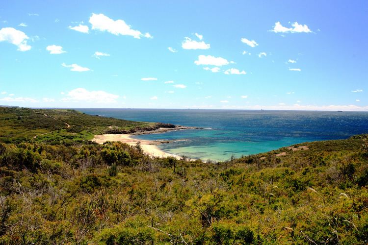
Pinny Beach was made a suburb of the City of Lake Macquarie on 5 May 2006 following amendments to the boundaries of surrounding suburbs. It is located on the Swansea Peninsula and is to the east of Lake Macquarie, south of the Pacific Ocean entrance channel at Swansea in New South Wales, Australia. It is part of the City of Lake Macquarie local government area.
Map of Pinny Beach NSW 2281, Australia
The name Pinny Beach has a direct relationship to the topographic feature designated as Pinny Beach This suburb is adjacent to the suburbs of Caves Beach to the northeast and Murrays Beach to the west where a section of the Pacific Highway forms the boundary.
Pinny beach was once better known as the "windswept heath of Pincushion Plain". It was named after the pincushion-shaped shrubs with sharp needle-like leaves.