
Topo map USGS Table Rock Prominence 215 m | Elevation 1,041 m Mountain range Blue Ridge Mountains | |
 | ||
Similar Sassafras Mountain, Richland Balsam, Table Rock, Rich Mountain, Looking Glass Rock | ||
Pinnacle Mountain is the tallest mountain contained entirely within the state of South Carolina (the state's highest point, Sassafras Mountain, is partially in North Carolina). It is located within Table Rock State Park in Pickens County, South Carolina. The summit of the mountain is accessible by hiking trails, the shortest of which is 4.2 miles one-way and begins at the Table Rock State Park Nature Center.
Map of Pinnacle Mountain, South Carolina 29671, USA
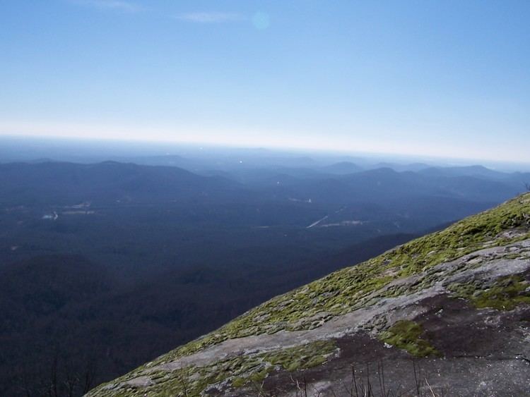
Pinnacle Mountain is typical of the southern Appalachians. It's mainly an eroded mountain of gentler slopes with a summit completely cloaked, principally in poplar, oaks, and other hardwoods. There is some very steep forest terrain on the eastern side of the peak, Bald Rock, where there are some impressive cliffs and imposing slopes.
In the late 1990s, some 600 plus prehistoric petroglyphs were discovered at Pinnacle Mountain. The petroglyphs, believed to be created by the Hopewell culture, pre-date the Cherokees and are believed to be between 1,500 and 3,500 years old.