
Country United States Time zone Pacific (PST) (UTC-8) Local time Sunday 7:51 PM | Elevation 4,153 ft (1,266 m) GNIS feature ID 1125399 | |
 | ||
Weather 11°C, Wind S at 18 km/h, 71% Humidity | ||
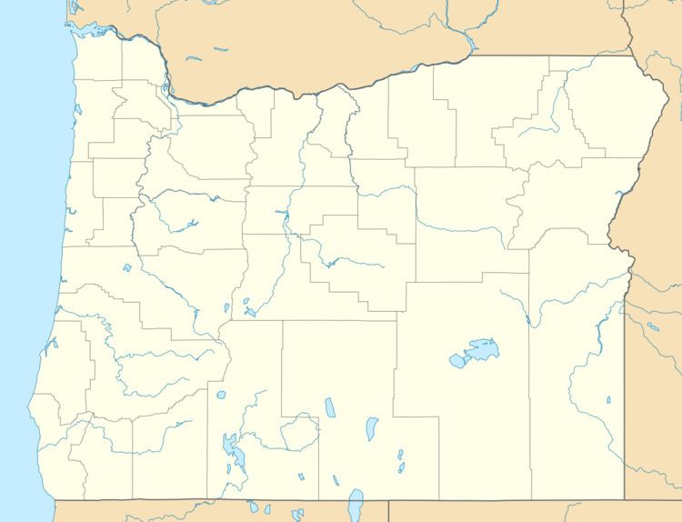
Pine Grove is an unincorporated community in Klamath County, Oregon, United States. Pine Grove lies south of Oregon Route 140 just east of its interchange with Oregon Route 39 near Altamont.
Map of Pine Grove, Oregon 97603, USA
Pine Grove had a station on the Oregon, California and Eastern Railway, which by 1929 reached from Klamath Falls to Bly. A 1941 timetable lists Pine Grove as the third stop east of Klamath Falls between Hager and Olene.
After 1990, the rail line passing through Pine Grove became part of a rail trail, the OC&E Woods Line State Trail, managed by the Oregon Parks and Recreation Department. One of the trailheads on the 100-mile (160 km) trail is at Pine Grove.
References
Pine Grove, Klamath County, Oregon Wikipedia(Text) CC BY-SA