Demonym(s) Pilaranon Area 32.42 km² | Time zone PHT (UTC+8) Province Cebu | |
 | ||
Barangay Neighborhoods Lanao, San Isidro, Imelda, Dapdap, Montserrat | ||
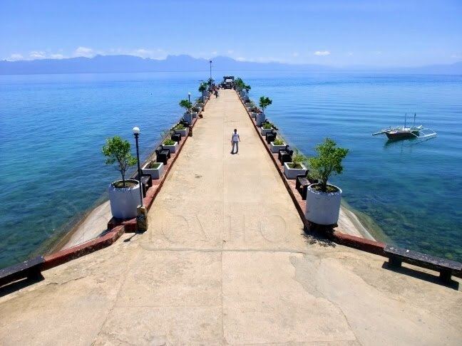
Pilar is a 5th municipal income class municipality on Camotes Islands in the province of Cebu, Philippines. According to the 2015 census, it has a population of 11,308. In the 2016 electoral roll, it had 8,613 registered voters.
Contents
Map of Pilar, Cebu, Philippines
The municipality is contiguous with Ponson Island, one of the four Camotes Islands in the Camotes Sea (along with Pacijan Island, Poro Island, and Tulang Island). The island is about 10.6 kilometres (6.59 mi) long and 3.7 kilometres (2.30 mi) wide.
Barangays
Pilar comprises 13 barangays:
Demographics
In the 2016 electoral roll, it had 8,613 registered voters, meaning that 76% of the population are aged 18 and over.
Language
People in Pilar mainly speak Cebuano with an accent similar to the locals of Bohol. Like most Filipinos, Pilaranons may also speak Tagalog and English.
