
Airport type Public Elevation AMSL 660 ft / 201 m 7/25 4,900 Phone +1 740-947-4952 | Elevation 201 m | |
 | ||
Owner Pike County Airport Authority Address 2577 Alma Omega Rd, Waverly, OH 45690, USA Similar Pike County Veterans, Pike Water Inc, Ross County Airport, Waverly Police Departme, Vinton County Airport | ||
Pike County Airport (ICAO: KEOP, FAA LID: EOP) is a county-owned, public-use airport located three nautical miles (3.5 miles; 5.6 km) northeast of the central business district of Waverly, a village in Pike County, Ohio, United States. This airport is included in the FAA's National Plan of Integrated Airport Systems for 2011–2015, which categorized it as a general aviation facility.
Although many U.S. airports use the same three-letter location identifier for the FAA and IATA, this facility is assigned EOP by the FAA but has no designation from the IATA.
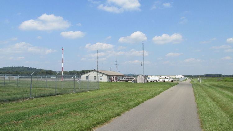
Facilities and aircraft
Pike County Airport covers an area of 70 acres (28 ha) at an elevation of 660 feet (201 m) above mean sea level. It has one runway designated 7/25 with an asphalt surface measuring 4,900 by 75 feet (1,494 x 23 m).
For the 12-month period ending June 30, 2009, the airport had 2,012 aircraft operations, an average of 167 per month: 99% general aviation and 1% military. At that time there were six single-engine aircraft based at this airport.