
Local time Friday 6:09 PM | Arrondissement Épinal Area 6.23 km² | |
 | ||
Weather 20°C, Wind SW at 19 km/h, 31% Humidity | ||
Pierrepont-sur-l'Arentèle is a commune in the Vosges department in Grand Est in northeastern France.
Contents
Map of 88600 Pierrepont-sur-l'Arent%C3%A8le, France
Inhabitants are called Pierrepontais.
Geography
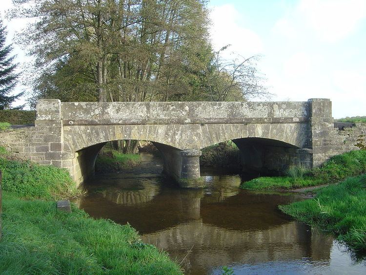
The village is positioned on a minor road in the wooded countryside between Épinal and Saint-Dié. As the name indicates, the commune is crossed by the Arentèle River, which rises at the foot of the Avison Massif in the commune of Bruyères, some 12 kilometres (7 mi) through the forest to the southeast.
History
In the 7h century C.E., Saint Dié turned up on the banks of the Arentèle and started to build a monastery. The territory was already inhabited, however; the villagers greeted the new arrivals with hostility, chasing them away in an easterly direction towards present-day Saint-Dié-des-Vosges, where the itinerant saint and his retinue founded that town.