
Elevation 1,475 m Local time Friday 2:43 AM Area code 208 | Area 103.5 km² Postal code 83348 | |
 | ||
- summer (DST) Mountain Daylight Time (MDT) (UTC-6) Weather 2°C, Wind NW at 6 km/h, 86% Humidity | ||
Picabo /ˈpiːkəbuː/ is an unincorporated community in Blaine County, Idaho, United States. Picabo is located along U.S. Highway 20, about 10 km (6 mi) west of Carey, 31 km (19 mi) southeast of Hailey, and 50 km (31 mi) northeast of Shoshone. It has a gas station, country store, post office, and a small airport. The community is surrounded by large ranches and irrigated fields. The 2000 US census for this zip code shows a population of 128 in 56 housing units in 40 square miles (104 km2).
Map of Picabo, ID 83313, USA
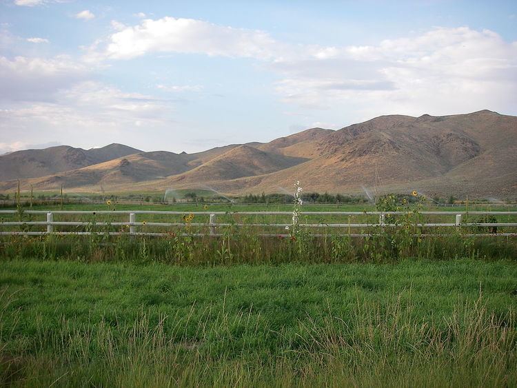
Picabo is located about 56 miles (90 km) north of the Snake River along the northern edge of the Snake River Plain, a topographic depression that cuts across the Basin and Range Mountain structures of southern Idaho. The nearest flowing stream is Silver Creek, a scenic spring-fed tributary of the Little Wood River, a key source of irrigation water for eastern Blaine County. The pristine Silver Creek is renowned among fly fisherman and was a favorite of Ernest Hemingway, who enjoyed hunting and fishing along the stream with local rancher Bud Purdy. The name "Picabo" supposedly derives from a Native American term translated as "silver water". The name “Picabo” was made familiar by Picabo Street, an Olympic skier who grew up in nearby Triumph.