Country United States ZIP codes 88344 Elevation 1,847 m Area code 575 | Time zone Mountain (MST) (UTC-7) GNIS feature ID 909714 Population 71 (2010) Local time Monday 9:13 PM | |
 | ||
Weather 16°C, Wind W at 14 km/h, 24% Humidity | ||
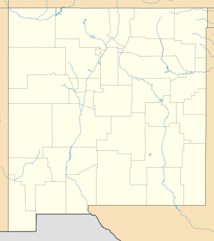
Piñon is an unincorporated community ranching community in Otero County in southern New Mexico, in the southwestern United States. The town is in the pinon-juniper shrublands habitat with an altitude of 6,060 feet. It is located at the intersection of NM Route 24 and NM Route 506. The postoffice in Piñon opened in 1907. In 2014, Piñon was ranked as the most politically conservative town in New Mexico.
Contents
Map of Pi%C3%B1on, NM, USA
The area is arid and subject to forest fires. In June 2011, the lightning-caused Gage Fire burned 1385 acres just to the west of town.
History
The area was originally settled by the agricultural and hunter gatherer Jornada Mogollon people about 200 CE whose suzerainty ended with the influx of the Apache and other plains raiders around 1450. The town was named in 1907 by the local school teacher John W. Nations after the piñon pine trees in the area.
