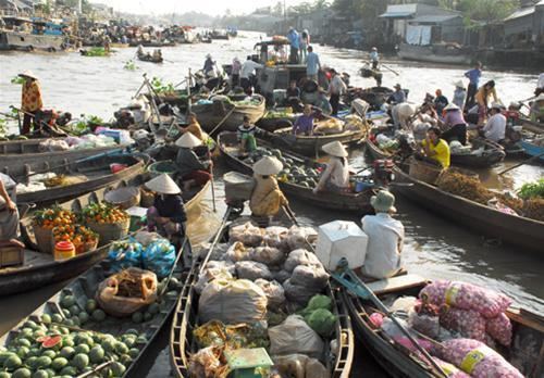
Country Vietnam Area 119 km² Province Can Tho | Time zone UTC + 7 (UTC+7) Local time Friday 12:06 AM | |
 | ||
Weather 27°C, Wind E at 13 km/h, 89% Humidity | ||
Phong Điền is a rural district of Cần Thơ in the Mekong Delta region of Vietnam. As of 2003, the district had a population of 102,621. As of 2004, the population had risen to 102,699. The district covers an area of 119 km2 (46 sq mi). Phong Điền was established by Decree No. 05/2004/ND-CP dated January 2, 2004. To the east it borders Ninh Kiều District, Cái Răng District, and to the west it borders Hậu Giang Province, and Bắc Bình Thủy District.
Contents
Map of Phong %C4%90i%E1%BB%81n, Can Tho, Vietnam
Administrative divisions
The district is divided into one town Phong Điền (753.82 ha, 11,852 people (2007)) with municipal status and 6 communes:
References
Phong Điền District, Cần Thơ Wikipedia(Text) CC BY-SA
