
- summer (DST) EDT Local time Thursday 12:57 AM | Zip code 13673 Area code 315 | |
 | ||
Weather -2°C, Wind NE at 8 km/h, 74% Humidity | ||
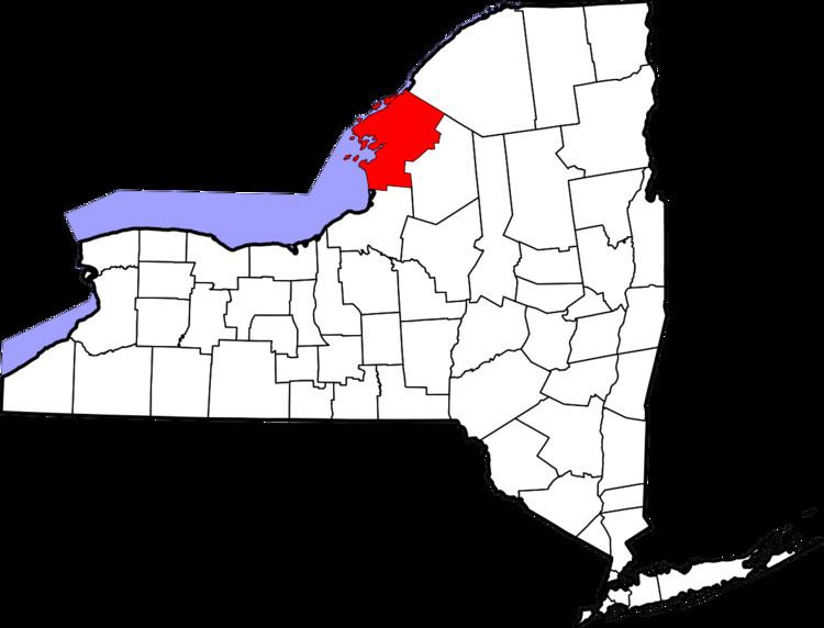
Philadelphia is a town in Jefferson County, New York, United States. The population was 1,947 at the 2010 census.
Contents
- Map of Philadelphia NY 13673 USA
- History
- Geography and climate
- Demographics
- Famous resident
- Philadelphia cream cheese
- Communities and location in the Town of Philadelphia
- Local Websites
- References
Map of Philadelphia, NY 13673, USA
The Town of Philadelphia contains a village called Philadelphia. Both town and village are in the northeast part of Jefferson County.
History
The town was first settled around 1804.
The town was formed in 1821 from part of the Town of Le Ray. In 1872, the community of Philadelphia set itself off from the town by incorporating as a village.
In 1959, the Indian River Central High School (New York) opened, serving students from the towns of Philadelphia, Theresa, Antwerp, Leray, Pamelia, the villages of Philadelphia, Theresa, Antwerp, Evans Mills, the hamlet of Calcium and the federal military installation of Fort Drum.
The Sterlingville Archeological District was listed on the National Register of Historic Places in 1995.
Geography and climate
According to the United States Census Bureau, the town has a total area of 37.6 square miles (97.4 km²), all of it land.
U.S. Route 11 is a northeast-southwest highway near the southeast town line. It intersects New York State Route 26 at Philadelphia village.
Philadelphia holds the all-time December record low for New York State at −47.
Demographics
As of the census of 2000, there were 2,140 people, 759 households, and 582 families residing in the town. The population density was 56.9 people per square mile (22.0/km²). There were 823 housing units at an average density of 21.9 per square mile (8.5/km²). The racial makeup of the town was 88.93% White, 4.91% Black or African American, 0.61% Native American, 1.17% Asian, 0.09% Pacific Islander, 2.06% from other races, and 2.24% from two or more races. Hispanic or Latino of any race were 4.16% of the population.
There were 759 households out of which 45.5% had children under the age of 18 living with them, 60.6% were married couples living together, 11.3% had a female householder with no husband present, and 23.2% were non-families. 19.5% of all households were made up of individuals and 10.1% had someone living alone who was 65 years of age or older. The average household size was 2.82 and the average family size was 3.20.
In the town, the population was spread out with 33.7% under the age of 18, 10.1% from 18 to 24, 32.0% from 25 to 44, 15.7% from 45 to 64, and 8.5% who were 65 years of age or older. The median age was 29 years. For every 100 females there were 96.9 males. For every 100 females age 18 and over, there were 93.6 males.
The median income for a household in the town was $31,250, and the median income for a family was $35,909. Males had a median income of $29,605 versus $21,121 for females. The per capita income for the town was $13,555. About 12.2% of families and 13.8% of the population were below the poverty line, including 17.2% of those under age 18 and 15.5% of those age 65 or over.
Famous resident
Philadelphia cream cheese
When cream cheese first appeared in the United States, in the first half of the nineteenth century, it was produced in small batches by many farmers (in New York State, not Pennsylvania). Because of the quality of the cream cheese produced in and around Philadelphia, the town name became associated with the product, although cream cheese as a manufactured product, in larger batches, came from elsewhere in New York State. The Philadelphia brand is currently owned by Kraft.