
- elevation 147 m (482 ft) Length 6 km | - elevation 120 m (394 ft) | |
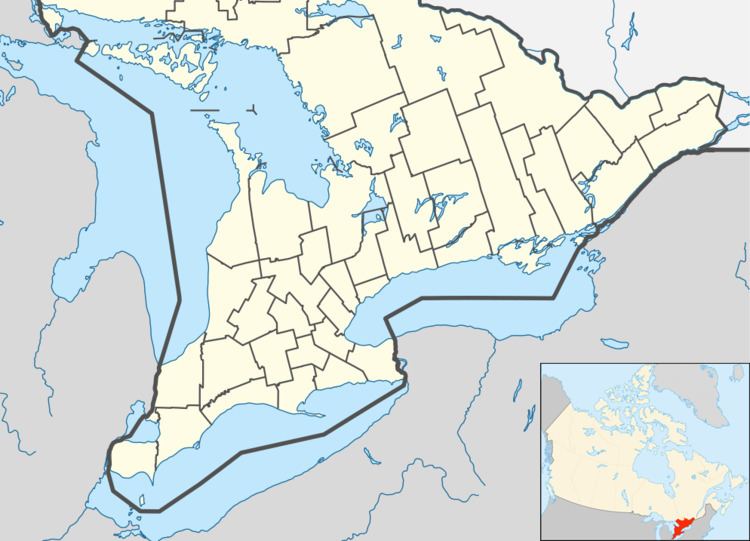 | ||
- location South Frontenac, Frontenac County - location South Frontenac, Frontenac County | ||
Peterson Creek is a river in the Lake Ontario and Cataraqui River drainage basins in South Frontenac, Frontenac County and Rideau Lakes, Leeds and Grenville United Counties in eastern Ontario, Canada. It flows 6.5 kilometres (4.0 mi) from Upper Peterson Lake to its mouth at Hart Lake.
Course
Peterson Creek begins at Upper Peterson Lake in South Frontenac township at an elevation of 147 metres (482 ft) about 4 kilometres (2.5 mi) north of the community of Keelerville. It flows northeast through Lower Peterson Lake to Gamble Bay on Crow Lake. The creek continues northeast through the lake into Rideau Lakes township and exits the lake at the north end at Ormonds Bay. It then flows southwest, re-enters South Frontenac township, and reaches its mouth at the north centre of Hart Lake at an elevation of 120 metres (394 ft), about 7.3 kilometres (4.5 mi) southwest of the community of Jones Falls. Hart Lake drains through two outlets, each of which eventually empty into the Cataraqui River, which flows to Lake Ontario at the city of Kingston.