
Country United States Time zone Mountain (MST) (UTC-7) Local time Monday 10:55 PM | Settled 1855 Elevation 1,489 m | |
 | ||
Weather 5°C, Wind NW at 19 km/h, 90% Humidity | ||
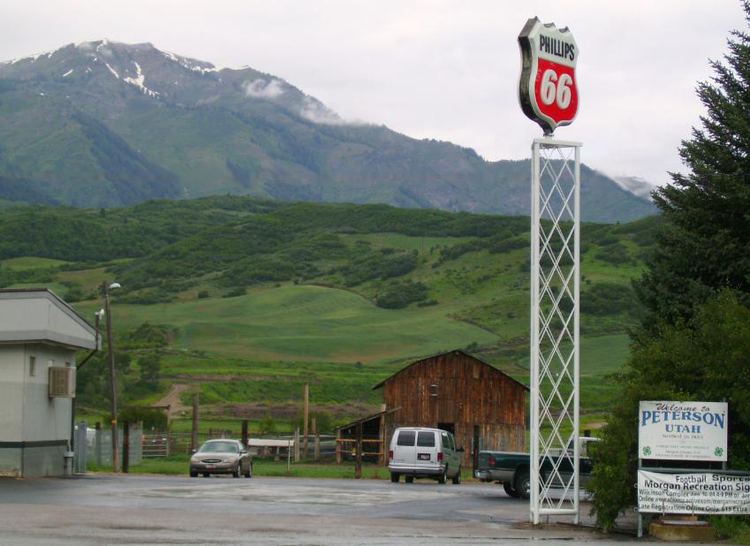
Peterson is an unincorporated community in Morgan County, Utah, United States.
Contents
Map of Peterson, Utah 84050, USA
Geography
Peterson is located near Peterson Creek and Interstate 84, seven miles northwest of the town of Morgan.
Thurston Peak, the highest peak in the county at an elevation of 9,706 feet (2,958 m), is located near Peterson.
History
Peterson was first settled in 1855. It was originally named Weber City after the nearby Weber River. The first public building, a combination school and LDS Church, was opened in 1861. The town was designated county seat in 1862, and remained so for four years, until it was replaced by Littleton in 1866, and then Morgan in 1868. The Peterson General Store, which also housed a U.S. post office, opened in 1869. Other businesses included the Dexter Hotel, a train station, and a stockyard.
In 1872, the town's name was changed to Peterson to honor an early settler, Charles Sreeve Peterson. Peterson was a Mormon leader, and the first settler of Morgan County.