
GNIS feature ID 0468510 Local time Monday 8:18 AM | FIPS code 19-93306 Elevation 293 m Population 1,891 (2000) | |
 | ||
Weather 6°C, Wind N at 11 km/h, 96% Humidity Area 93.5 km² (93.42 km² Land / 8 ha Water) | ||
Perry Township is a civil township in the northeastern part of Tama County, Iowa, United States. As of the 2000 census, its population was 1,891.
Contents
Map of Perry, IA, USA
History
Perry Township was organized in 1858.
Transportation
Important highways in Perry Township include U.S. Route 63 and Iowa Highway 8.
Government
Perry Township is administered by the Perry Township trustees, who are elected by the citizens of Perry Township and of Traer.
Geography
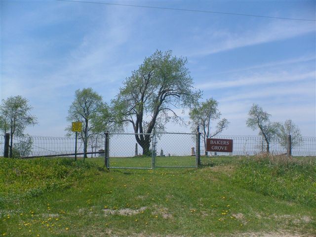
Within the thirty-six sections of Perry Township are located several creeks — Coon, Fourmile, Salt, and Wolf — and four cemeteries: Bakers Grove, Buckingham, Saint Paul's Catholic and West Union.
The city of Traer is located in Perry Township, as is the unincorporated community of Collins Grove. Outside these communities, the township is rural and its land is primarily used for agriculture.
Public services
Fire protection and ambulance services in Perry Township are the responsibility of Traer.
The ZIP code for Perry Township is 50675.