
Country United States GNIS feature ID 0453723 Area 91.89 km² Population 50,673 (2010) | ZIP codes 47401, 47403, 47404 Elevation 226 m Local time Monday 9:16 AM | |
 | ||
Weather 11°C, Wind SE at 8 km/h, 86% Humidity Points of interest Twin Lakes Sports Park, Latimer Woods, Wylie House, Olcott Park, South East Park | ||
Perry Township is one of eleven townships in Monroe County, Indiana, United States. As of the 2010 census, its population was 50,673 and it contained 24,194 housing units.
Contents
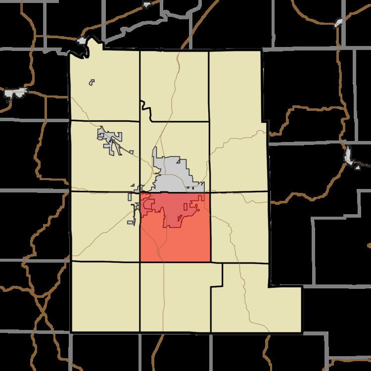
- Map of Perry Township IN USA
- History
- Geography
- Cities towns villages
- Unincorporated towns
- Cemeteries
- Major highways
- School districts
- Political districts
- References
Map of Perry Township, IN, USA
History
Perry Township was established in 1830. It was named for Commodore Matthew C. Perry.
Geography
According to the 2010 census, the township has a total area of 35.48 square miles (91.9 km2), of which 35.36 square miles (91.6 km2) (or 99.66%) is land and 0.12 square miles (0.31 km2) (or 0.34%) is water.
Cities, towns, villages
Unincorporated towns
(This list is based on USGS data and may include former settlements.)
Cemeteries
The township contains Mount Salem Cemetery.
Major highways
School districts
Political districts
References
Perry Township, Monroe County, Indiana Wikipedia(Text) CC BY-SA