
Country United States GNIS feature ID 0453722 Area 105 km² Population 864 (2010) | ZIP codes 46910, 46951, 46974 Elevation 250 m Local time Monday 9:16 AM | |
 | ||
Weather 10°C, Wind W at 5 km/h, 95% Humidity | ||
Perry Township is one of fourteen townships in Miami County, Indiana, United States. As of the 2010 census, its population was 864 and it contained 343 housing units.
Contents
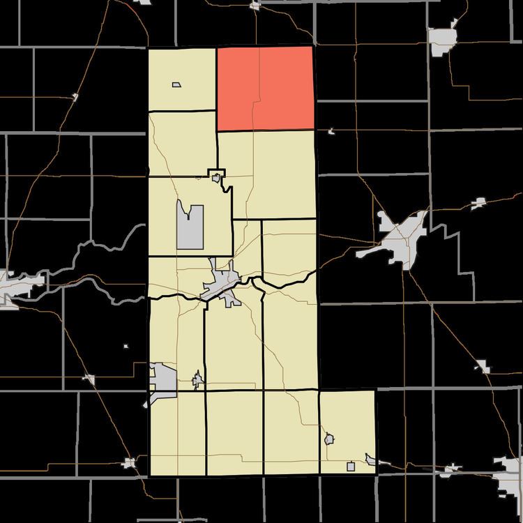
- Map of Perry Township IN USA
- History
- Geography
- Unincorporated towns
- Cemeteries
- School districts
- Political districts
- References
Map of Perry Township, IN, USA
History
The first settlement at Perry Township was made in 1833. Perry Township was organized in 1837. The township is named for Oliver Hazard Perry, best known for his heroic role in the War of 1812 during the Battle of Lake Erie.
Geography
According to the 2010 census, the township has a total area of 40.53 square miles (105.0 km2), of which 40.39 square miles (104.6 km2) (or 99.65%) is land and 0.14 square miles (0.36 km2) (or 0.35%) is water.
Unincorporated towns
Cemeteries
The township contains these five cemeteries: Gilead, Enterprise, Gaerte, Shoemaker and Tilden.
School districts
Political districts
References
Perry Township, Miami County, Indiana Wikipedia(Text) CC BY-SA