
Elevation 201 m Zip code 47462 Population 2,259 (2010) | GNIS feature ID 0453720 Area 92.41 km² Local time Monday 9:14 AM | |
 | ||
Weather 11°C, Wind SE at 5 km/h, 88% Humidity | ||
Perry Township is one of nine townships in Lawrence County, Indiana, United States. As of the 2010 census, its population was 2,259 and it contained 943 housing units.
Contents
- Map of Perry Township IN USA
- History
- Geography
- Unincorporated towns
- Cemeteries
- Major highways
- School districts
- Political districts
- References
Map of Perry Township, IN, USA
History
Perry Township was established in 1822. It was named for Matthew C. Perry.
Geography
According to the 2010 census, the township has a total area of 35.68 square miles (92.4 km2), of which 35.64 square miles (92.3 km2) (or 99.89%) is land and 0.04 square miles (0.10 km2) (or 0.11%) is water.
Unincorporated towns
(This list is based on USGS data and may include former settlements.)
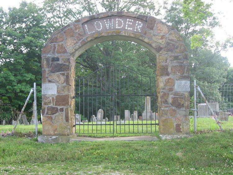
Cemeteries
The township contains these four cemeteries: Byers, Christian, Graves and Lowder.
Major highways
School districts
Political districts
References
Perry Township, Lawrence County, Indiana Wikipedia(Text) CC BY-SA