
Elevation 485 m Local time Monday 1:16 PM | Postal code 592 61 Area 7.5 km² Population 177 (2006) | |
 | ||
Weather 12°C, Wind NE at 6 km/h, 32% Humidity | ||
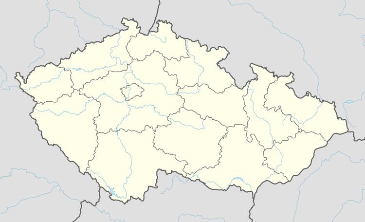
Pernštejnské Jestřabí is a village and municipality (obec) in Brno-Country District in the South Moravian Region of the Czech Republic.
Map of Pern%C5%A1tejnsk%C3%A9 Jest%C5%99ab%C3%AD, Czechia
The municipality covers an area of 7.5 square kilometres (2.9 sq mi), and has a population of 177 (as at 3 July 2006).
Pernštejnské Jestřabí lies approximately 32 kilometres (20 mi) north-west of Brno and 157 km (98 mi) south-east of Prague.
References
Pernštejnské Jestřabí Wikipedia(Text) CC BY-SA