
Elevation 228 m | Postal code 691 86 Area 9.33 km² | |
 | ||
Website | ||
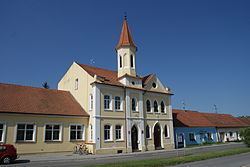
Perná is a village and municipality (obec) in Břeclav District in the South Moravian Region of the Czech Republic.
Map of Pern%C3%A1, Czechia
The municipality covers an area of 9.33 square kilometres (3.60 sq mi), and has a population of 764 (as at 28 August 2006).
Perná lies approximately 22 kilometres (14 mi) north-west of Břeclav, 39 km (24 mi) south of Brno, and 210 km (130 mi) south-east of Prague.
References
Perná Wikipedia(Text) CC BY-SA