
OS grid reference NZ252536 Country England Postcode district DH2 Local time Monday 10:30 AM Post town County Durham | Region North East Sovereign state United Kingdom Police Durham Shire county County Durham | |
 | ||
Weather 6°C, Wind NE at 3 km/h, 94% Humidity | ||
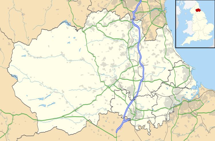
Perkinsville is a village in County Durham, in England. It is situated immediately to the north of Pelton, to the north-west of Chester-le-Street.
Map of Perkinsville, Chester le Street, UK
There are a few shops including a convenience store, a fish and chip shop and a DIY store. There is also a working men's club. A pub ('The Ship') was located in the village but has been demolished with new housing being built in its place.
Perkinsville was named in the 1840s by Mr Charles Perkins. Charles Perkins ran the coal mines in High Urpeth (Chester-le-Street). He died in 1920.
References
Perkinsville, County Durham Wikipedia(Text) CC BY-SA