
Area 2,290 km² Population 2,921 (2013) Unemployment rate 1.6% (Apr 2015) | Website www.co.perkins.ne.us Founded 1887 | |
 | ||
Rivers Stinking Water Creek, Sand Creek, Wild Horse Spring | ||
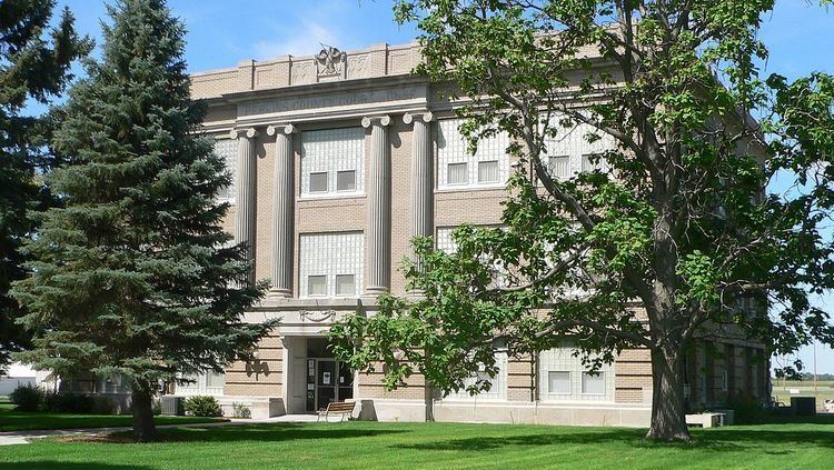
Perkins County is a county in the U.S. state of Nebraska. As of the 2010 census, the population was 2,970. Its county seat is Grant.
Contents
- Map of Perkins County NE USA
- History
- Geography
- Major highways
- Adjacent counties
- Demographics
- Communities
- References
Map of Perkins County, NE, USA
In the Nebraska license plate system, Perkins County is represented by the prefix 74 (it had the seventy-fourth-largest number of vehicles registered in the county when the license plate system was established in 1922).
History
Perkins County was organized in 1887. It is believed to have been named after Charles E. Perkins, the president of the Chicago, Burlington and Quincy Railroad.
Geography
According to the U.S. Census Bureau, the county has an area of 884 square miles (2,290 km2), of which 883 square miles (2,290 km2) is land and 1.1 square miles (2.8 km2) (0.1%) is water.
Major highways
Adjacent counties
Demographics
As of the census of 2000, there were 3,200 people, 1,275 households, and 893 families residing in the county. The population density was 4 people per square mile (1/km²). There were 1,444 housing units at an average density of 2 per square mile (1/km²). The racial makeup of the county was 97.69% White, 0.03% Black or African American, 0.28% Native American, 0.22% Asian, 1.34% from other races, and 0.44% from two or more races. 2.31% of the population were Hispanic or Latino of any race.
There were 1,275 households out of which 32.50% had children under the age of 18 living with them, 62.90% were married couples living together, 4.60% had a female householder with no husband present, and 29.90% were non-families. 27.50% of all households were made up of individuals and 15.70% had someone living alone who was 65 years of age or older. The average household size was 2.47 and the average family size was 3.01.
In the county, the population was spread out with 26.60% under the age of 18, 6.00% from 18 to 24, 23.50% from 25 to 44, 24.70% from 45 to 64, and 19.30% who were 65 years of age or older. The median age was 41 years. For every 100 females there were 100.80 males. For every 100 females age 18 and over, there were 95.80 males.
The median income for a household in the county was $34,205, and the median income for a family was $42,112. Males had a median income of $28,438 versus $19,881 for females. The per capita income for the county was $17,830. About 9.50% of families and 13.60% of the population were below the poverty line, including 20.10% of those under age 18 and 8.90% of those age 65 or over.