
Country Ukraine Established 1467 Time zone EET (UTC+2) Area 7.856 km² Postal code 48420 | District Buchach Raion Elevation 293 m (961 ft) Area code +380 3544 Local time Monday 6:48 AM Province Ternopil Oblast | |
 | ||
Weather 1°C, Wind W at 19 km/h, 82% Humidity | ||
Perevoloka (Ukrainian: Переволо́ка) — village (selo) in Buchach Raion, Ternopil Oblast, of western Ukraine.
Contents
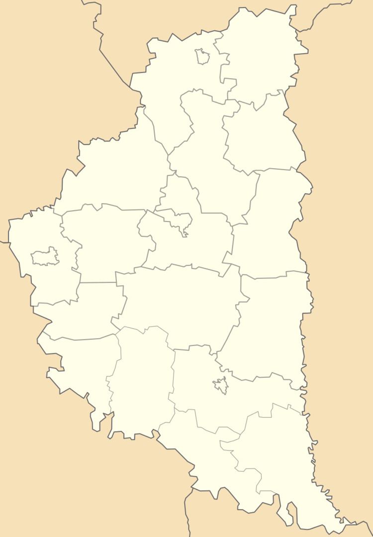
Map of Perevoloka, Ternopil Oblast, Ukraine
The population of the village is about 2 368 people and local government is administered by Perevolotska village council.
Geography
The village is located on the banks of the Strypa River and is situated at an altitude of 293 metres (960 ft) above sea level.
Perevoloka village is one of the largest villages in the district Buchach (Buchach Raion) and is located at a distance 62 kilometres (39 mi) from the regional center Ternopil, and 9 kilometres (5.6 mi) from the district center Buchach.
History and Attractions
The date of establishment the village is considered 1467, though the first written record dates from the 1379. Near the village found archeological sights of Cucuteni-Trypillian culture and Culture of ancient Rus.
The village has a St. George Church (1895, stone), St. Trinity Church (1934, stone) and St. Josaphat Church.