
Country United States County Cuyahoga ZIP codes 44122, 44124 Elevation 323 m Local time Sunday 6:53 PM | State Ohio Time zone Eastern (EST) (UTC-5) FIPS code 39-61686 Population 6,149 (2013) Area code 216 | |
 | ||
Weather 13°C, Wind S at 14 km/h, 85% Humidity Area 18.36 km² (18.29 km² Land / 8 ha Water) | ||
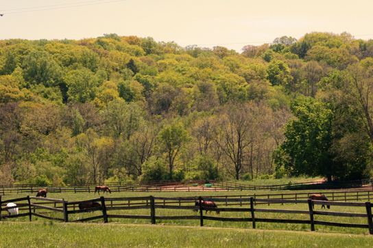
Pepper Pike is an eastern suburb of the Greater Cleveland area in the US state of Ohio. The population was 5,979 at the 2010 census.
Contents
- Map of Pepper Pike OH 44124 USA
- History
- Geography
- Demographics
- 2010 census
- 2000 census
- Education
- Cemeteries
- Notable people
- References
Map of Pepper Pike, OH 44124, USA
History
In 1763, sixteen pioneers settled the area along the eastern border of present-day Cuyahoga County. In 1763, Orange Township was established, which included the present municipalities of Pepper Pike, Hunting Valley, Moreland Hills, Orange Village and Woodmere. Orange Township was the birthplace of President James A. Garfield in 1831. By the late 1880s, dairy farming and cheese production became the primary industry of the township. In 1924, residents of the northwestern quadrant of Orange Township voted to separate, and the village of Pepper Pike was incorporated. The name "Pepper Pike" was selected after the Pepper family, who lived and worked along the primary transportation corridor (i.e., turnpike). Incorporated as a city in 1970, Pepper Pike operates under the mayor-council form of government. In the late 2000s, it was chosen as one of the top seven strangest city names by the World Book of Facts.
Geography
Pepper Pike is located at 41°28′37″N 81°28′8″W (41.476836, -81.468975) in the eastern section of Cuyahoga County.
According to the United States Census Bureau, the city has a total area of 7.09 square miles (18.36 km2), of which 7.06 square miles (18.29 km2) is land and 0.03 square miles (0.08 km2) is water.
Demographics
The median income for a household in the city was $149,631, and the median income for a family was $166,765. The per capita income for the city was $68,984. About 3.1% of the total population were below the poverty line. Of the city's population over the age of 25, 69.7% held a bachelor's degree or higher.
2010 census
As of the census of 2010, there were 5,979 people, 2,176 households, and 1,753 families residing in the city. The population density was 846.9 inhabitants per square mile (327.0/km2). There were 2,349 housing units at an average density of 332.7 per square mile (128.5/km2). The racial makeup of the city was 86.3% White, 6.5% African American, 0.2% Native American, 5.5% Asian, 0.1% from other races, and 1.6% from two or more races. Hispanic or Latino of any race were 1.4% of the population.
There were 2,176 households of which 31.3% had children under the age of 18 living with them, 73.5% were married couples living together, 5.7% had a female householder with no husband present, 1.4% had a male householder with no wife present, and 19.4% were non-families. 16.8% of all households were made up of individuals and 9.4% had someone living alone who was 65 years of age or older. The average household size was 2.59 and the average family size was 2.91.
The median age in the city was 49.2 years. 23.6% of residents were under the age of 18; 6.4% were between the ages of 18 and 24; 14.1% were from 25 to 44; 32.5% were from 45 to 64; and 23.4% were 65 years of age or older. The gender makeup of the city was 46.5% male and 53.5% female.
2000 census
In 2000, there were 1,000 households out of which 32.0% had children under the age of 18 living with them, 78.3% were married couples living together, 5.0% had a female householder with no husband present, and 15.7% were non-families. 14.0% of all households were made up of individuals. The average household size was 2.62 and the average family size was 2.88.
In the city, the population was spread out with 23.6% under the age of 18, 4.8% from 18 to 24, 16.7% from 25 to 44, 34.5% from 45 to 64, and 20.3% who were 65 years of age or older. The median age was 48 years. For every 100 females there were 91.6 males. For every 100 females age 18 and over, there were 84.5 males.
Pepper Pike's Israeli community had the twenty fifth highest percentage of residents, which was at 1.4% (tied with Plainview, NY.)
Education
Pepper Pike is served by the Orange City School System which is well known as an exceptional public school system. For many decades, it has ranked among the best public school systems in the State of Ohio and throughout the U.S.
Ursuline College is located in Pepper Pike.
The Japanese Language School of Cleveland (JLSC; クリーブランド日本語補習校 Kurīburando Nihongo Hoshūkō), a part-time Japanese school, holds its classes at the Lillian and Betty Ratner School in Pepper Pike.