Country Belgium Area codes 02 Area 36.05 km² Population 4,537 (1 Jan 2007) | Postal codes 1670, 1671, 1673, 1674 Website www.pepingen.be Local time Monday 12:35 AM Area code 02 | |
 | ||
Weather 8°C, Wind NE at 8 km/h, 73% Humidity Arrondissement Halle-Vilvoorde administrative Arrondissement | ||
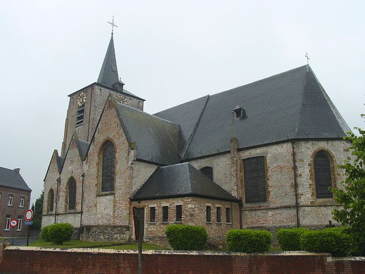
Pepingen ( [ˈpeːpɪŋə(n)]) is a municipality located in the Belgian province of Flemish Brabant. The municipality comprises the villages of Beert, Bellingen, Bogaarden, Elingen, Heikruis and Pepingen proper. On January 1, 2006, Pepingen had a total population of 4,352. The total area is 36.05 km² which gives a population density of 121 inhabitants per km².
Map of Pepingen, Belgium
References
Pepingen Wikipedia(Text) CC BY-SA
