Founded 1936 Elevation 1,128 m Local time Sunday 5:11 PM | Time zone Central (CST) (UTC-6) Population 35 (2000) | |
 | ||
Weather 24°C, Wind W at 37 km/h, 12% Humidity | ||
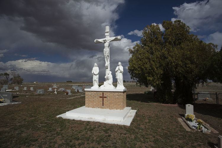
Pep is an unincorporated community in northwestern Hockley County, Texas, United States, situated along Farm to Market Road 303. It is located on the high plains of the Llano Estacado just to the west of the historic Yellow House Ranch. Although it is unincorporated, Pep has a post office, with the ZIP code of 79353.
Contents
Map of Pep, TX 79336, USA
Education
Public education in the community of Pep is provided by the Whiteface Consolidated Independent School District. The Pep Independent School District consolidated with neighboring Whiteface in August 1978.
References
Pep, Texas Wikipedia(Text) CC BY-SA
