
 | ||
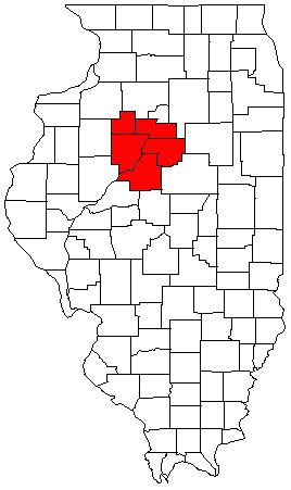
The Peoria Metropolitan Statistical Area, as defined by the United States Census Bureau, is an area consisting of five counties in Central Illinois, anchored by the city of Peoria. As of the 2010 census, the MSA had a population of 379,186 (though a 2012 estimate placed the population at 380,447). The City of Peoria, according to the estimated 2014 US Census Bureau, has 115,828 people.
Contents
Counties
Places with more than 100,000 inhabitants
Places with 10,000 to 40,000 inhabitants
Places with 2,500 to 10,000 inhabitants
Places with 1,000 to 2,500 inhabitants
Combined Statistical Area
The Peoria–Canton Combined Statistical Area is made up of six counties in central Illinois. The statistical area includes one metropolitan area and one micropolitan area. As of the 2000 Census, the CSA had a population of 405,149 (though a July 1, 2009 estimate placed the population at 412,517).
Demographics
As of the census of 2000, there were 366,899 people, 143,607 households, and 98,299 families residing within the MSA. The racial makeup of the MSA was 88.54% White, 8.40% African American, 0.23% Native American, 1.05% Asian, 0.02% Pacific Islander, 0.59% from other races, and 1.18% from two or more races. Hispanic or Latino of any race were 1.52% of the population.
The median income for a household in the MSA was $42,805, and the median income for a family was $50,756. Males had a median income of $38,135 versus $23,793 for females. The per capita income for the MSA was $20,104.