
enter ZIP code 32764 Elevation 4.9 m Area code 386 | Time zone Eastern (EST) (UTC-5) GNIS feature ID 294885 Local time Sunday 5:22 AM | |
 | ||
Weather 15°C, Wind N at 0 km/h, 96% Humidity | ||
Pennichaw is a rural unincorporated community located in south Volusia County, Florida, United States. It located on Lake Harney Road, approximately 1.8 miles south of Maytown Road.
Contents
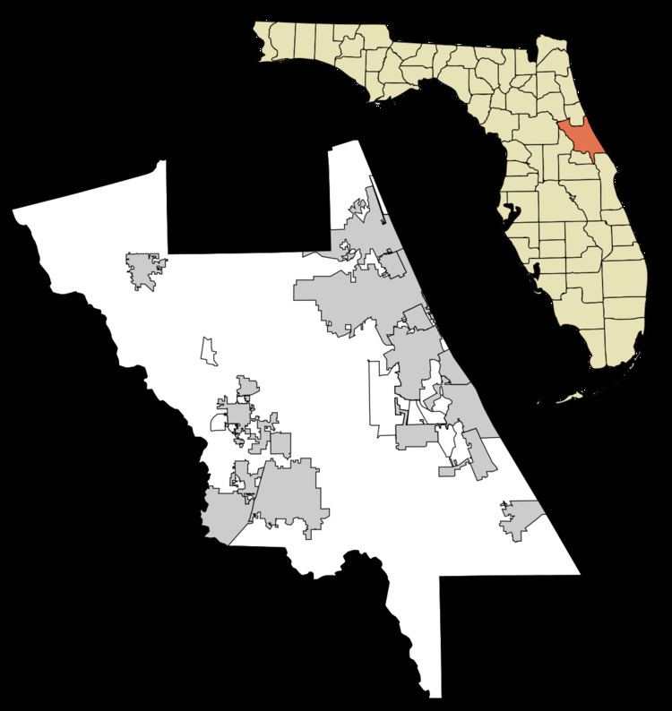
Map of Pennichaw, Florida 32764, USA
History
Pennichaw was one of several small settlements along the Enterprise Branch (E-Branch) of the Atlantic Coast, St. Johns & Indian River Railway, which later became the Florida East Coast Railway. The railroad line was built between 1883 and 1885, connecting Enterprise and Titusville. The name Pennichaw comes from a Seminole word meaning "turkey gobbler". At its peak, Pennichaw had a turpentine still and commissary.
The railroad through Pennichaw fell into disuse after World War II, and by the 1970, the rails had been removed, leaving cross ties, gravel and the occasional trestle. As the railroads and the commerce they brought disappeared, small communities such as Pennichaw declined. A few residential properties remain in the vicinity of Pennichaw.
Rails-to-Trails
The state of Florida has purchased the right of way that was formerly used for the rail line and is partnering with Volusia County to construct a paved, multi-use trail from Lake Monroe to both Edgewater and Titusville.
The East Central Regional Rail Trail corridor, which is more than 50 miles long, will be developed and managed by Volusia and Brevard counties. The first 5.7 miles opened in early 2011.