
OS grid reference SH551638 Sovereign state United Kingdom Postcode district LL55 Local time Sunday 8:58 AM Dialling code 01248 | Country Wales Post town CAERNARFON | |
 | ||
Weather 11°C, Wind E at 23 km/h, 50% Humidity | ||
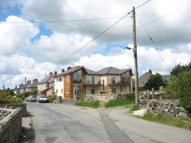
Penisarwaun (or Penisa'r Waun) is a small village which is located 4 miles to the east of Caernarfon and a mile to the northeast of Llanrug on the A4547 in Gwynedd, north-west Wales.
Contents
Map of Penisa'r Waun, Caernarfon, UK
Education
The village includes a primary school, Ysgol Gymuned Penisarwaun that instructs around 100 pupils aged between 4-11.
Facilities
The village includes a postal office and a nursing home. [1].
Governance
Penisarwaun is an electoral ward in the area. The majority of the population is shown as being in Llanddeiniolen community. The total population of the ward taken at the 2011 census was 1,768.
References
Penisa'r Waun Wikipedia(Text) CC BY-SA