
District Nordfriesland Elevation 2 m (7 ft) Area 37.44 km² | Municipal assoc. Pellworm Time zone CET/CEST (UTC+1/+2) Dialling code 04844 | |
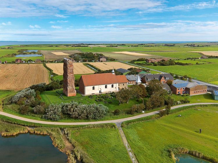 | ||
Pellworm (Danish: Pelvorm; North Frisian Polweerm) is a municipality in the district of Nordfriesland, in Schleswig-Holstein, Germany.
Map of Pellworm, 25849 Pellworm, Germany
Municipality is located on the island of Pellworm – one of the North Frisian Islands on the North Sea coast of Germany. Its area is 37 km², and its population is roughly 1,200.
In medieval times Pellworm was a part of the larger island of Strand which was torn into pieces in the disastrous Burchardi flood in 1634. Other remnants of Strand are Nordstrand and the Halligen. All these belonged to the historical region of Uthlande.
Pellworm is accessible by a ferry departing from the neighbouring peninsula of Nordstrand (which is in turn connected with the mainland by a road causeway).
One of the largest hybrid renewable energy plants in Europe is to be found on Pellworm. It combines photovoltaic and wind energy to provide over 700 MWh/year of electricity.
Together with several smaller islands, Pellworm forms the Amt of Pellworm.