Airport type Public Elevation AMSL 7,200 ft / 2,195 m | Serves Pelaneng 610 Dirt | |
 | ||
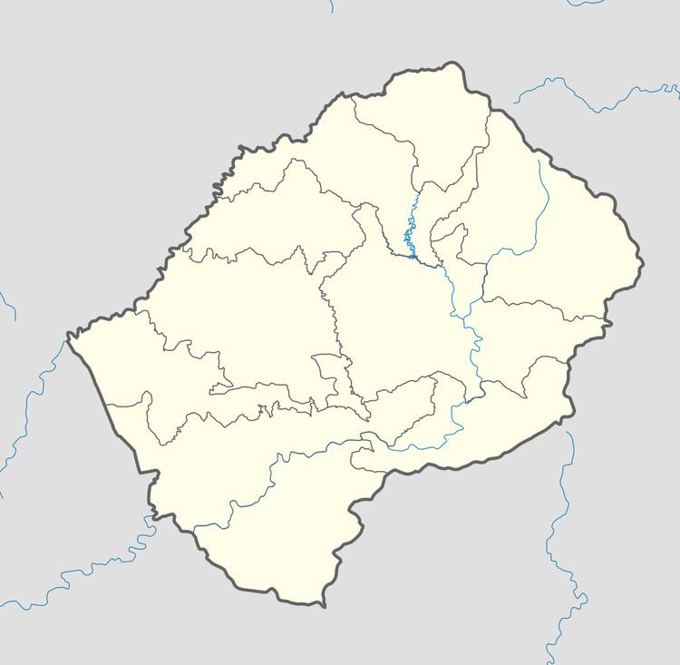
Pelaneng Airport (IATA: PEL, ICAO: FXPG) is an airport serving the settlement of Pelaneng, Lesotho.
The high elevation, unmarked airstrip sits on a narrow ridge south of the confluence of the Pelaneng and Malibamatso rivers, with rising terrain to the west and a 400+ ft drop into the river valley off the east end. Another higher ridge lies 2,500 feet (762 m) off the east end, requiring an angling final to runway 29. Landing east is less obstructed, but the downhill slope, short runway, and dropoff make it inadvisable.
Latest aerial imaging shows an embanked roadway has been cut across the runway, rendering the runway unusable.
References
Pelaneng Airport Wikipedia(Text) CC BY-SA
