
Country Portugal Intermunic. comm. Médio Tejo Area 36.08 km² Postal code 2205 Area code 241 Municipality Abrantes | Subregion Médio Tejo Patron Santa Luzia Population 2,431 (2011) District Santarém District Region Centro Region, Portugal | |
 | ||
Pego is a civil parish in the municipality (concelho) of Abrantes, in the historic Portuguese district of Santarém. The population in 2011 was 2,431, in an area of 36.05 square kilometres (13.92 sq mi).
Contents
Map of Pego, Portugal
History
The parish, one of the older parishes in the municipality, was already identified in the records of that period, dating to 1332.
Geography
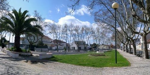
Pego is situated in the centre of the municipality of Abrantes; one of the three parishes that do not front other municipalities within Abrantes. Its neighbours include the parishes of Mouriscas (in the northeast); Concavada (in the east); São Facundo and São Miguel do Rio Torto (to the south), Rossio (to the west) and Alferrarede (in the northwest).
Leaving the main city of Abrantes, towards Portalgre on the EN118, following the left margin of the Tagus, intersects the civil parish of Pego. The road leads along the Ribeira de Coalhos to a small plateau with several small low-rise homes: the first indications of a small settled community.