
Country South Africa District Amathole Established 1835 Area code 040 | Province Eastern Cape Municipality Ngqushwa Postal code (street) 5640 | |
 | ||
Peddie is a town in Amathole District Municipality in the Eastern Cape province of South Africa.
Map of Peddie, 5640, South Africa
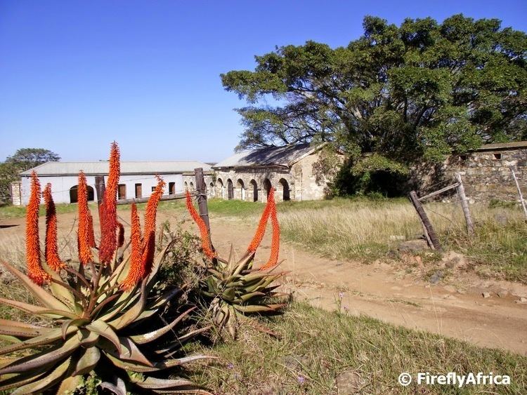
The town is situated 55km south-west of King William's Town and 67km east of Grahamstown. It developed from a frontier post established in 1835 and named Fort Peddie, and became a municipality in 1905. Named after Lieutenant-Colonel John Peddie (?-1840), who led the 72nd Highlanders against the Xhosa in the Sixth Frontier War.
A large provincial hospital on the outskirts of Peddie is named Nompumelelo Hospital.
References
Peddie, Eastern Cape Wikipedia(Text) CC BY-SA