
Population 823 (2013) Local time Saturday 7:16 AM | Area code 815 Postal code 61062 | |
 | ||
Weather 3°C, Wind NE at 27 km/h, 95% Humidity Area 168 ha (166 ha Land / 3 ha Water) | ||
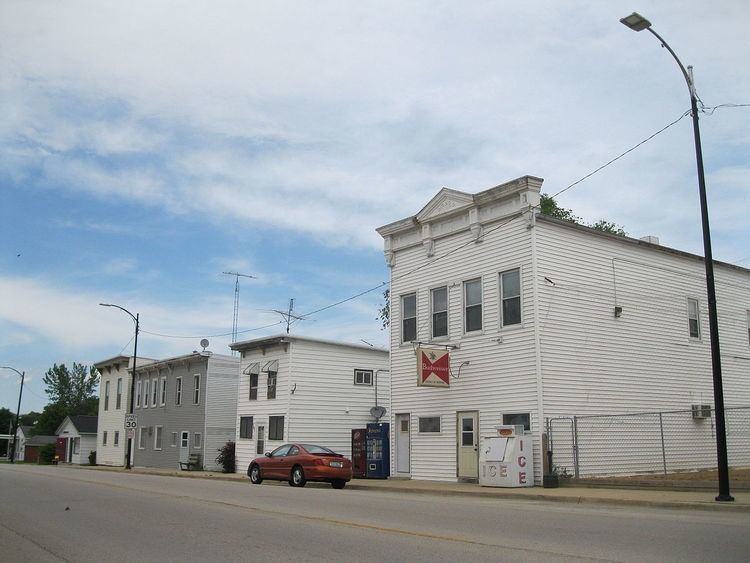
Pearl City is an incorporated village in Stephenson County, Illinois, with a population of 838 at the 2010 census, up from 780 in 2000.
Contents
- Map of Pearl City IL 61062 USA
- History
- Demographics
- Geography
- Government
- Education
- Local organizations
- Points of Interest
- References
Map of Pearl City, IL 61062, USA
History
In the early 1840s, the village of Yellow Creek was established in southwest Stephenson County, Illinois on a creek also named Yellow Creek. Anson Andrews built a grain mill which used the power from the creek, and others soon settled near and around the mill, giving way to a small settlement. In the 1850s, the village had expanded to a size warranting its own post office, a significant addition to small midwestern settlements of the time.
In 1892, the village was renamed "Pearl City" when, a few years earlier, a young man named Daniel Ditzler found a number of fresh water pearls in the creek. In 1888, the Chicago, St. Paul and Kansas City Railroad (later renamed the Chicago Great Western Railway) reached Pearl City. With the railroad came access to cheap goods and transportation, leading to more growth in the town.
Water lines were laid in 1902, electricity arrived in 1913, and a grain elevator was established in 1918. By 1910, the population reached 300, and in 1912 a school was built. Although it has been remodeled and expanded several times, the building is still home to the Pearl City community school today. In 1926, Illinois Route 73 was surveyed and built through Pearl City.
Demographics
As of the census of 2000, there were 780 people, 293 households, and 225 families residing in the village. The population density was 1,376.7 people per square mile (528.4/km²). There were 314 housing units at an average density of 554.2 per square mile (212.7/km²). The racial makeup of the village was 98.21% White, 0.38% African American, 0.13% Asian, 0.26% from other races, and 0.38% from two or more races. Hispanic or Latino of any race were 0.64% of the population.
There were 293 households out of which 44.0% had children under the age of 18 living with them, 63.5% were married couples living together, 9.6% had a female householder with no husband present, and 23.2% were non-families. 20.1% of all households were made up of individuals and 12.6% had someone living alone who was 65 years of age or older. The average household size was 2.66 and the average family size was 3.04.
In the village, the population was spread out with 29.9% under the age of 18, 7.2% from 18 to 24, 29.9% from 25 to 44, 20.3% from 45 to 64, and 12.8% who were 65 years of age or older. The median age was 33 years. For every 100 females there were 91.2 males. For every 100 females age 18 and over, there were 86.7 males. Population of 803 in 2011.
The median income for a household in the village was $43,929, and the median income for a family was $55,096. Males had a median income of $35,313 versus $24,141 for females. The per capita income for the village was $19,256. About 4.1% of families and 4.6% of the population were below the poverty line, including 2.5% of those under age 18 and 18.6% of those age 65 or over.
Geography
Pearl City is located at 42°15′59″N 89°49′38″W (42.266179, -89.827185). It is located approximately 12 miles (19 km) west of Freeport and 40 miles (64 km) east of Galena. It is a part of the Freeport Micropolitan Statistical Area, which includes all of Stephenson County.
According to the 2010 census, Pearl City has a total area of 0.649 square miles (1.68 km2), of which 0.64 square miles (1.66 km2) (or 98.61%) is land and 0.009 square miles (0.02 km2) (or 1.39%) is water.
The village is situated on Illinois Route 73, which runs south to Lanark and north to the Wisconsin border through Lena and Winslow.
Pearl City is located approximately six miles south of U.S. Route 20, which traverses the US from Boston in the east to Newport, Oregon in the west.
Government
The village government is a Trustee-Village form of government. The mayor's term is four years with three new or reelected trustees every three years. The board oversees one full-time and three part-time employees as well as all utilities, law enforcement, and taxes. Pearl City receives fire protection as part of the area serviced by the Pearl City Fire Protection District.
Education
Pearl City is home to the Pearl City Community Unit School District #200. Elementary, middle, and high school are located in the same building at 100 S Summit St.
The local sports teams are the Pearl City "Wolves" and EPC "Wildcatz", a football co-op between the Pearl City and Eastland high school who won the Illinois Class 2A Football State Championship in 2014 by going undefeated 14-0.
Local organizations
Pearl City is home to three churches, Zion Community, St. John's Lutheran, and Pearl City Methodist. There are two local 4-H clubs, The Pearl City Hornets, and the Pearl Valley Rangers. Civic organizations include Post 1014 of the American Legion and Club 261 of the Lions Club.