
Country United States GNIS feature ID 264592 Local time Saturday 4:48 AM | State California Time zone Pacific (PST) (UTC-8) Elevation 786 m Area code 530 | |
 | ||
Weather 3°C, Wind SW at 2 km/h, 100% Humidity | ||
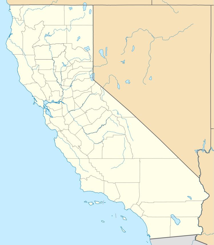
Peanut is an unincorporated community in Trinity County, California. It is located on Highway 3, south of Hayfork and north of Highway 36 at an elevation of 2,499 feet (762 m).
Contents
Map of Peanut, CA 96041, USA
History
A post office called Peanut was established in 1900, and remained in operation until it was discontinued in 1933. The first postmaster's fondness of peanuts caused the name to be selected.
References
Peanut, California Wikipedia(Text) CC BY-SA