
Mouth elevation 0 | Length 134 km | |
 | ||
River mouth Pacific Ocean0 m (0 ft) Discharge Average rate:23.2 m/s (820 cu ft/s) (at El Jobo) | ||
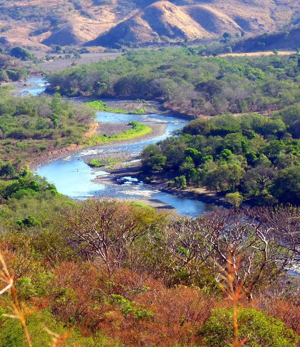
The Río Paz ([ˈri.o pas]) is a river in southern Guatemala. Its sources are located in the Quezalapa mountains in the north of Jutiapa. From there it flows in a south-westerly direction and marks the border with El Salvador for most of its course before reaching the Pacific Ocean at 13°46′16″N 90°10′57″W.
Map of Rio Paz
The Paz River is 134 kilometres (83 mi) long, and its river basin covers a territory of 1,732 square kilometres (669 sq mi) in Guatemala.
It flows through the Ahuachapán Department and into the Laguna el Espino.
References
Paz River Wikipedia(Text) CC BY-SA