
Established 1900 State electorate(s) North West Postal code 6638 | Postcode(s) 6638 Elevation 446 m Local time Saturday 3:26 PM | |
 | ||
Weather 26°C, Wind S at 10 km/h, 65% Humidity | ||
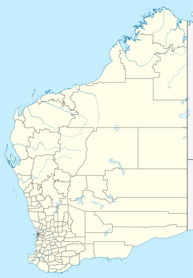
Paynesville is an abandoned town in the Mid West region of Western Australia between the towns of Mount Magnet and Sandstone.
Map of Paynesville WA 6638, Australia
Gold was discovered in 1898 in the immediate area by the prospectors Thomas Payne and Waldeck. The townsite was surveyed in 1898 and was initially known as Paynton and East Mount Magnet and also known as Fords after another prospector who had worked the area.
A local board of Health was established in the town in 1898.
By 1899 the town became known as Paynesville and the town was gazetted in 1900. In 1910 the Sandstone Branch Railway from Mount Magnet to Black Range was opened with Paynesville having a station on the line.
An ore battery was built close to the town but later moved to Nunngarra in 1904.
References
Paynesville, Western Australia Wikipedia(Text) CC BY-SA