
Local time Saturday 7:26 AM | ||
 | ||
Weather 25°C, Wind NE at 2 km/h, 99% Humidity | ||
Paynesville liberia city mayor interact with wash r e
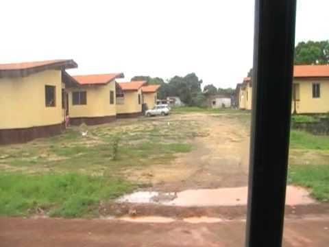
Paynesville (sometimes Paynesward) is a suburb east of Monrovia, Liberia. It is geographically larger than the city of Monrovia and is expanding eastward along the Robertsfield Highway and northeastward beyond Red Light Market, one of the largest market areas in Liberia. Paynesville is often considered a part of the Greater Monrovia area. It was the location of the Paynesville Omega Transmitter, the highest structure of Africa, until the tower's demolition in 2011. The Samuel Kanyon Doe Sports Complex, recently renovated by the Chinese government, is located in Paynesville. The Liberia Broadcasting System is also located in Paynesville.
Contents
- Paynesville liberia city mayor interact with wash r e
- Map of Paynesville Liberia
- Neighborhoods
- Notable residents
- References
Map of Paynesville, Liberia
Neighborhoods
Paynesville has several neighborhoods, called "communities" by residents, which are notable for their unique names. Some communities include housing estates, older settlements, while others are named after landmarks, major boulevards/roads or local leaders, while others predate the street names altogether.