
Time zone CST (UTC-6) Area 97.77 km² Population 334 (2010) | Established March, 1850 Elevation 227 m Local time Friday 11:20 PM | |
 | ||
ZIP codes 60518, 60531, 60550, 60556 Weather 7°C, Wind NE at 26 km/h, 85% Humidity | ||
Paw Paw Township is one of nineteen townships in DeKalb County, Illinois, USA. As of the 2010 census, its population was 334 and it contained 137 housing units.
Contents
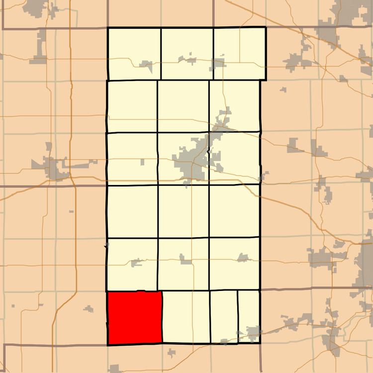
- Map of Paw Paw Township IL USA
- Geography
- Unincorporated towns
- Cemeteries
- School districts
- Political districts
- References
Map of Paw Paw Township, IL, USA
Geography
According to the 2010 census, the township has a total area of 37.75 square miles (97.8 km2), of which 37.51 square miles (97.2 km2) (or 99.36%) is land and 0.24 square miles (0.62 km2) (or 0.64%) is water.
Unincorporated towns
(This list is based on USGS data and may include former settlements.)
Cemeteries
The township contains these two cemeteries: East Paw Paw and Old Stevens.
School districts
Political districts
References
Paw Paw Township, DeKalb County, Illinois Wikipedia(Text) CC BY-SA