
Area 18.05 km² | Population 9,929 Local time Saturday 6:39 AM | |
 | ||
Weather -1°C, Wind W at 8 km/h, 96% Humidity | ||
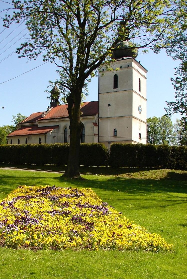
Pawłowice [pavwɔˈvit͡sɛ] (German Pawlowitz) is a large village in Pszczyna County, Silesian Voivodeship, in southern Poland. It is the seat of the gmina (administrative district) called Gmina Pawłowice. It lies approximately 17 kilometres (11 mi) west of Pszczyna and 38 km (24 mi) south-west of the regional capital Katowice.
Contents
Map of Paw%C5%82owice, Poland
The village has a population of 9,929 making it the third largest village in Poland.
History
The village was first mentioned in 1281.
During the political upheaval caused by Matthias Corvinus the land around Pszczyna was overtaken by Casimir II, Duke of Cieszyn, who sold it in 1517 to the Hungarian magnates of the Thurzó family, forming the Pless state country. In the accompanying sales document issued on 21 February 1517 the village was mentioned as Pawlowicze. The Kingdom of Bohemia in 1526 became part of the Habsburg Monarchy. In the War of the Austrian Succession most of Silesia was conquered by the Kingdom of Prussia, including the village.