
Population 142 (2011 census) Postcode(s) 5220 Postal code 5220 | Established 1951 Time zone ACST (UTC+9:30) Local time Friday 2:41 AM | |
 | ||
Weather 17°C, Wind E at 10 km/h, 89% Humidity | ||
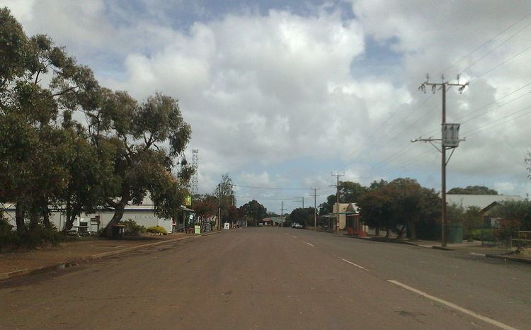
Parndana is a small town on Kangaroo Island, South Australia, located 40 km west of Kingscote, the island's largest town.
Contents
Map of Parndana SA 5220, Australia
History
Parndana was established after the Second World War to support the Soldier Settlement Scheme on Kangaroo Island. The name "Parndana" means "The Place of Little Gums".
Returned soldiers and their families began to arrive in the area in 1948, occupying huts brought from a former internment camp, and began to move onto their farms in 1951. A total of 174 families came to live in the area, almost doubling Kangaroo Island's population by 1954.
The Town of Parndana which was proclaimed on 26 July 1951 under the Crown Lands Act 1929-1944, occupied a triangular-shaped area of land in the cadastral unit of the Hundred of Seddon bounded by the Playford Highway on the north-west, the Rowland Hill Highway to the south-west and the Wedgewood Road to the east.
The soldier settlements were established on Crown land, which first had to be cleared of heavy native vegetation. Returned soldiers had to agree to live and work in camps to undertake this clearance work for a number of years before being allocated a block of land which then required further development before they could begin to farm the land, the costs of this further development being bourne by the settlers using government loans (arbitrarily administered by public servants without any specific knowledge of farming needs in the district). Many settlers were unable to succeed in raising sheep (recommended as the best use of the land) because of the widespread use of the Yarloop clover (recommended for use in heavy wet soils), which was subsequently discovered to reduce the fertility of sheep, but at the time the settlers were blamed for their poor farm management skills. Later it was an expensive exercise for farmers to remove the Yarloop clover and replace it with other varieties of clover. As a consequence of these issues, by the 1970s some settlers were in desperate financial circumstances and the government wanted to foreclose on their loans, forcing them to sell their farms, leading to desperate protests and legal action based on the misadvice they had received from public servants.
Facilities
The town has an area school for years reception to 12, a community hotel and two general stores.
The Parndana Research Centre was established to the south of the town as a support for early farming activities but closed in the 1990s.
Attractions
The Parndana Wildlife Park opened in 1992 and has an extensive collection of animals with a focus on Kangaroo Island wildlife.
The Soldier Settlement Museum provides information and artefacts relating to the soldier settlement program.
Sports
The Parndana Football Club first fielded teams in 1948, 1949 and 1951 during the early days of the land clearing operations, before being permanently admitted to the Kangaroo Island football league in February 1956.