
Number of households 2,095 | Area 4.791 km² | |
 | ||
Restaurants Good World Chinese, Gilhoolig Bar and Grill, Sidelines Restaurant & Sports, Jim Dandy Drive‑In, Koa's Hawaiian BBQ Hotels Comfort Inn & Suites Portland, Hilton Garden Inn Portland, Fairfield Inn & Suites by, La Quinta Inn & Suites Po, Quality Inn & Suites Airport | ||
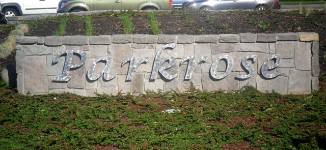
Parkrose is a neighborhood in the Northeast section of Portland, Oregon.
Map of Parkrose, Portland, OR, USA
The Parkrose plat was filed October 5, 1911. A branch post office of Portland was established there in 1921.
Parkrose was a small farming and residential suburb of Portland until the 1920s. The Oregon Journal noted on May 23, 1925, "Parkrose is a primary commuting center. . . . It is one of the most progressive and promising commuting districts on the eastern border of the city."
Parkrose was annexed by Portland, and the community was enumerated as a "Census-designated place" in 1980, when the community recorded a population of 21,108. There is a Parkrose / Sumner Transit Center, which is served by the Red Line of TriMet's MAX Light Rail. A bridge at the transit center spans Interstate 205. C-Tran serves the transit center and travels into Washington. There is also a Parkrose School District.