
Local time Thursday 6:38 AM | ||
 | ||
Weather 2°C, Wind W at 5 km/h, 100% Humidity | ||
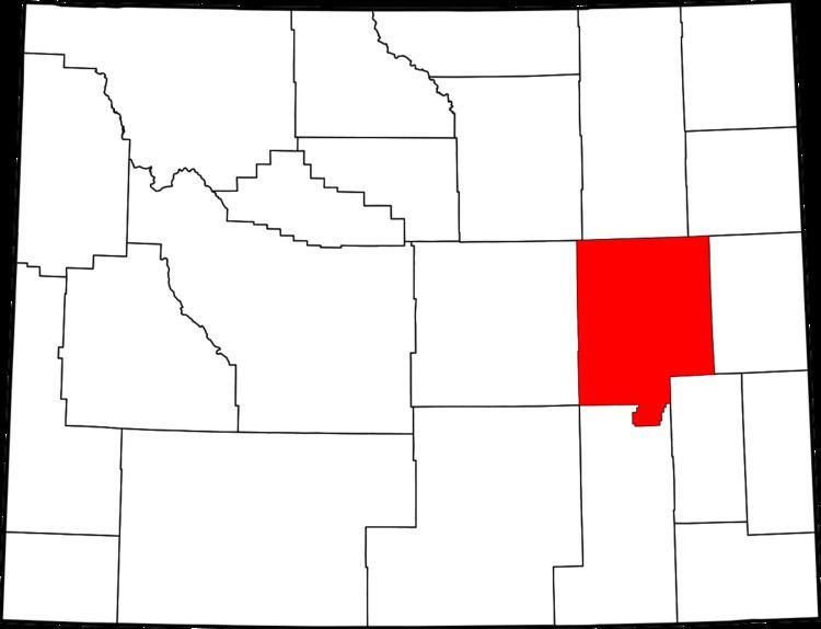
Parkerton, Wyoming is an unincorporated community in Converse County, Wyoming. It is in the Mountain Standard Time Zone. Elevation is 5,030 feet.
Contents
Map of Parkerton, WY 82637, USA
Geography
Parkerton is located on the western edge of Converse County between Meadow Acres, Wyoming and the town of Glenrock on U.S. Highway 26 and borders the Platte River.
History
Parkerton is a community on the western boundary of the Big Muddy oil field in Central Wyoming.
It is one of many communities in Central Wyoming that grew rapidly with the discovery of oil in the region in 1889 and is often referred to as an oil field community because of the local employers in the area.
In the early years of the community it became known as a stop on the Chicago & Northwestern Railroad which also brought many new residents and employment opportunities to the western part of the United States.
The original Post Office in Parkerton is no longer in service.
A Post Office that serves the community is in Glenrock.
The community was named after the Reverend Samuel Parker.