
Country United States FIPS code 53-53265 Elevation 283 m Population 154 (2010) Area code 509 | Time zone Pacific (PST) (UTC-8) GNIS feature ID 1512547 Zip code 98951 Local time Thursday 5:33 AM | |
 | ||
Weather 2°C, Wind W at 5 km/h, 75% Humidity | ||
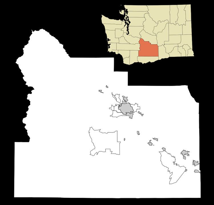
Parker is an unincorporated community in central Yakima County, Washington. It is located on U.S. Route 97 between the cities of Union Gap and Wapato on the Yakama Indian Reservation. The town had a population of 154 at the 2010 census.
Contents
Map of Parker, WA, USA
History
The first plat for the town of Parker was filed January 6, 1909. It was originally settled by William Parker in 1864, and was named for him by the Northern Pacific Railway in 1890.
Parker does not have any form of city government. Police service is delivered by the Yakima County Sheriffs department, and a local volunteer fire station. The U.S. Postal Service provides post office box delivery on weekdays and Saturday. The ZIP code for Parker, Washington is 98939. Currently, children attend Wapato public schools in the Wapato School District approximately four miles southeast of town.
Businesses including a wood cutting businesses, Nickoloffs Fruit Stand, and a fireworks stand that is open during the Fourth of July and New Years holiday seasons.
Local residents are primarily employed in occupations related to agriculture and fruit orchards.
Climate
This region experiences warm (but not hot) and dry summers, with no average monthly temperatures above 71.6 °F. According to the Köppen Climate Classification system, Parker has a warm-summer Mediterranean climate, abbreviated "Csb" on climate maps.