
Country United States FIPS code 29-56226 Elevation 230 m Local time Thursday 7:02 AM | Time zone Central (CST) (UTC-6) GNIS feature ID 0738395 Area 34 ha Population 171 (2013) | |
 | ||
Weather 4°C, Wind E at 11 km/h, 71% Humidity | ||
Parkdale is a village in Jefferson County, Missouri, United States. The population was 170 at the 2010 census.
Contents
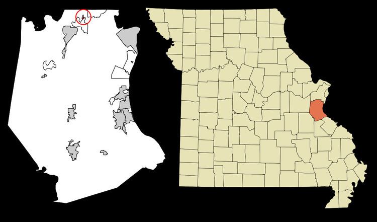
Map of Parkdale, MO 63049, USA
Geography
Parkdale is located at 38°29′0″N 90°31′45″W (38.483337, -90.529059).
According to the United States Census Bureau, the village has a total area of 0.13 square miles (0.34 km2), all of it land.
2010 census
As of the census of 2010, there were 170 people, 73 households, and 57 families residing in the village. The population density was 1,307.7 inhabitants per square mile (504.9/km2). There were 75 housing units at an average density of 576.9 per square mile (222.7/km2). The racial makeup of the village was 96.5% White, 0.6% African American, 2.4% Asian, and 0.6% from two or more races. Hispanic or Latino of any race were 0.6% of the population.
There were 73 households of which 21.9% had children under the age of 18 living with them, 60.3% were married couples living together, 8.2% had a female householder with no husband present, 9.6% had a male householder with no wife present, and 21.9% were non-families. 17.8% of all households were made up of individuals and 5.5% had someone living alone who was 65 years of age or older. The average household size was 2.33 and the average family size was 2.63.
The median age in the village was 51.3 years. 15.3% of residents were under the age of 18; 4% were between the ages of 18 and 24; 20.6% were from 25 to 44; 38.8% were from 45 to 64; and 21.2% were 65 years of age or older. The gender makeup of the village was 49.4% male and 50.6% female.
2000 census
As of the census of 2000, there were 205 people, 70 households, and 59 families residing in the village. The population density was 1,616.4 people per square mile (608.9/km²). There were 71 housing units at an average density of 559.8 per square mile (210.9/km²). The racial makeup of the village was 97.56% White, 0.49% Asian, 0.98% from other races, and 0.98% from two or more races. Hispanic or Latino of any race were 1.46% of the population.
There were 70 households out of which 28.6% had children under the age of 18 living with them, 70.0% were married couples living together, 11.4% had a female householder with no husband present, and 14.3% were non-families. 12.9% of all households were made up of individuals and 4.3% had someone living alone who was 65 years of age or older. The average household size was 2.93 and the average family size was 3.13.
In the village, the population was spread out with 21.5% under the age of 18, 8.8% from 18 to 24, 27.8% from 25 to 44, 28.3% from 45 to 64, and 13.7% who were 65 years of age or older. The median age was 41 years. For every 100 females there were 109.2 males. For every 100 females age 18 and over, there were 106.4 males.
The median income for a household in the village was $52,000, and the median income for a family was $56,875. Males had a median income of $41,000 versus $23,594 for females. The per capita income for the village was $17,783. About 3.2% of families and 3.7% of the population were below the poverty line, including none of those under the age of eighteen and 11.1% of those sixty five or over.